 01
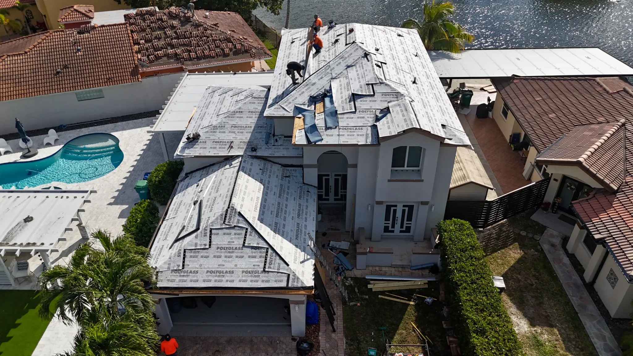
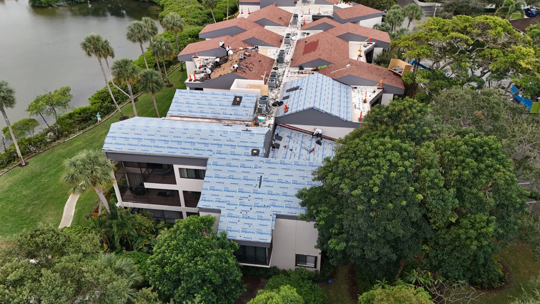
01Construction progress
Consistent aerial documentation that helps owners, contractors, and project teams see progress, communicate clearly, and keep a visual record.
Explore service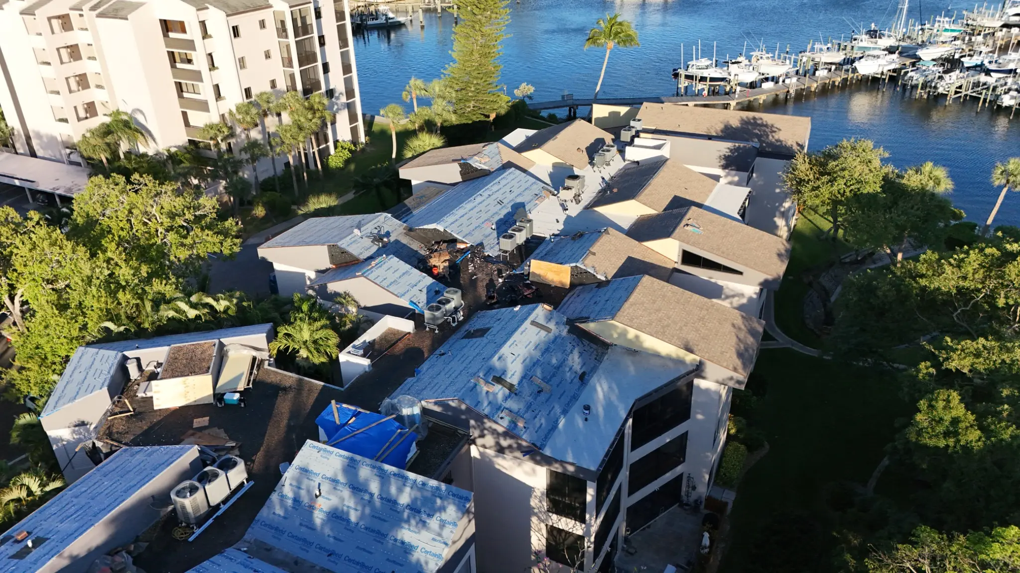
Southwest Florida aerial services
Professional drone inspections, progress documentation, and aerial media across Southwest Florida.
A better view of the work
Not generic drone footage. Every mission starts with the decision, report, estimate, or update the imagery needs to support.
01Consistent aerial documentation that helps owners, contractors, and project teams see progress, communicate clearly, and keep a visual record.
Explore service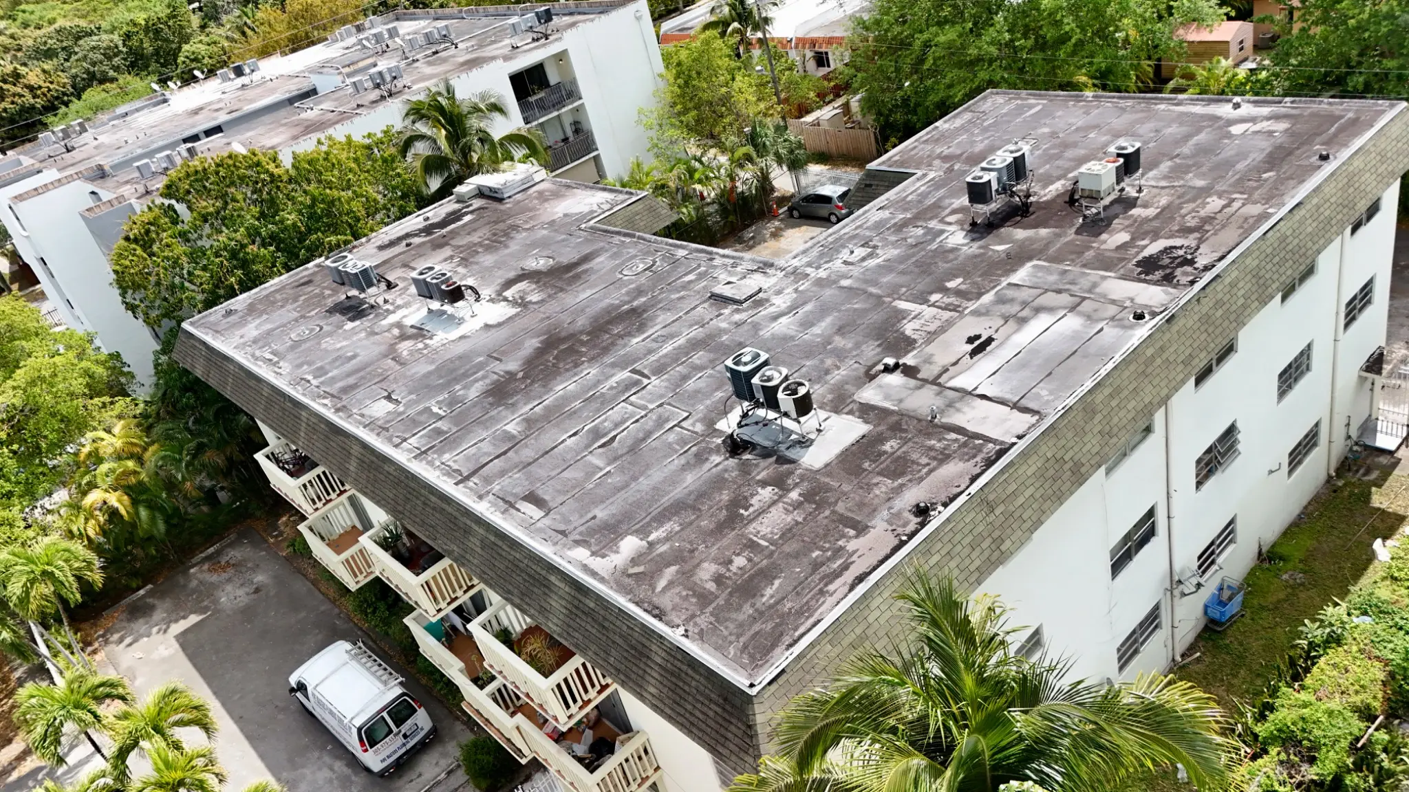 02
02Detailed roof imagery captured from safer, hard-to-reach viewpoints for estimates, condition reviews, maintenance planning, and documentation.
Explore service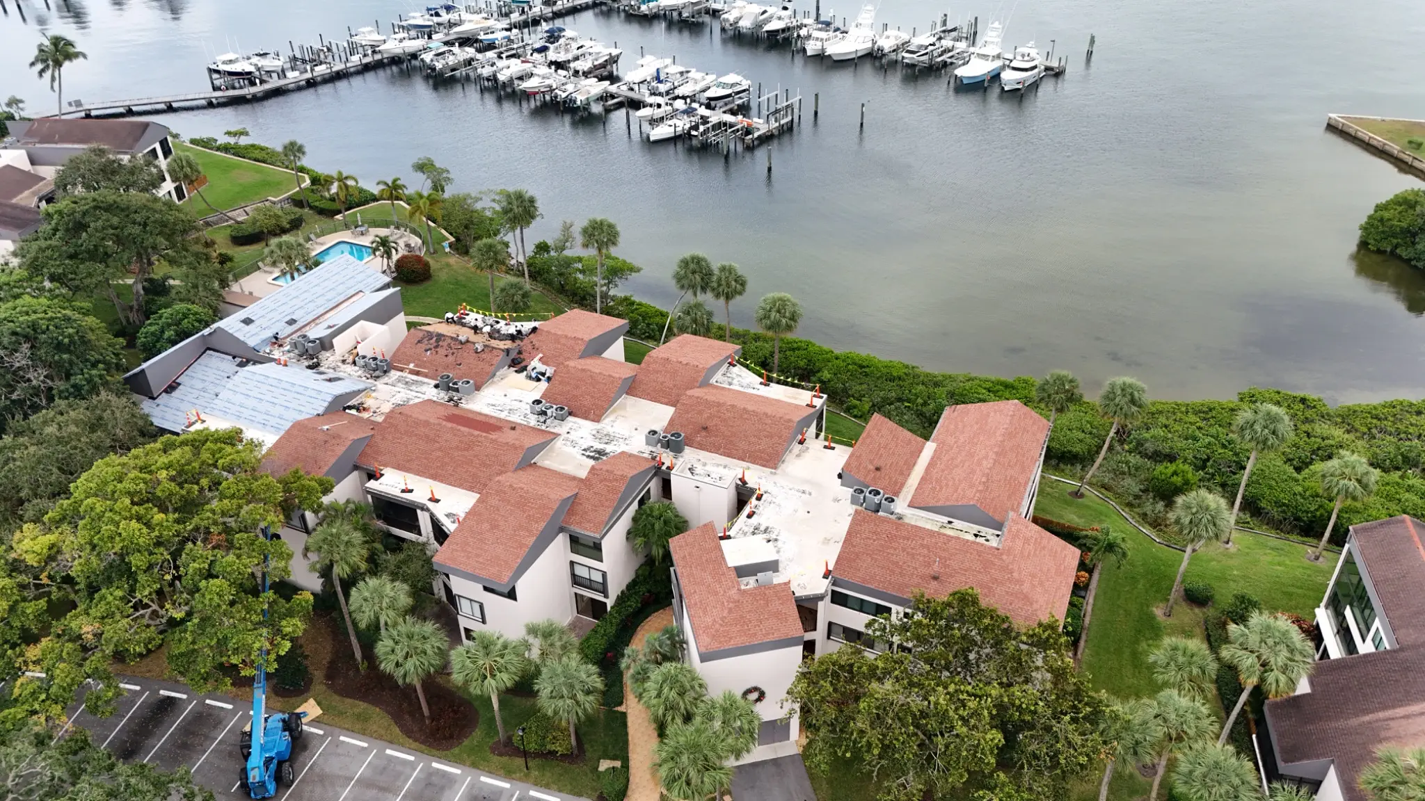 03
03A complete aerial perspective for multifamily, commercial, and residential properties—capturing roofs, exteriors, drainage context, and site conditions.
Explore service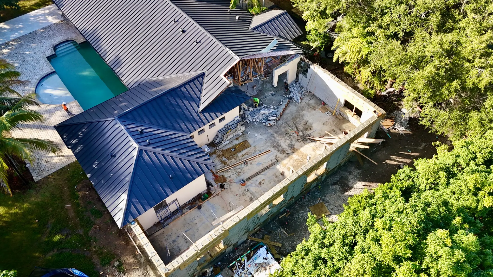 04
04Polished high-resolution photography and 4K aerial video that show properties, land, access, and surrounding context at their best.
Explore serviceBuilt for the field
Construction experience shapes every shot list, viewpoint, and delivery folder.
Track work in place, logistics, site conditions, and repeatable progress from a perspective everyone can understand.
Capture roof planes, penetrations, drainage areas, edges, and visible conditions for estimating and documentation.
Document buildings, roofs, access, landscape, and surrounding context for maintenance and asset planning.
Simple from scope to delivery
Practical planning and consistent delivery, built around how construction and property teams actually work.
Share the address, timeline, site conditions, and what the imagery needs to accomplish.
We align the flight plan and shot list to your project, with safety and usable coverage driving the work.
Receive organized, high-resolution files built for updates, estimates, records, and decisions.
Original aerial work
Explore actual roof, construction-progress, and property imagery captured to document conditions, milestones, and work in place.
View the project portfolioStraightforward pricing
Every quote reflects site size, mission complexity, deliverables, travel, turnaround, and flight frequency. You approve a clear scope before scheduling.
See the pricing approachSend the property address, service needed, approximate site or roof size, desired deliverables, and preferred timing. Plans, marked-up photos, or a shot list are helpful but not required for an initial conversation.
Pricing is based on mission complexity, site size, number of structures, required deliverables, travel, turnaround, and whether the work is a one-time flight or recurring program. You receive a clear scope and price before scheduling.
Yes. Recurring construction programs can use a repeatable shot plan so progress is easier to compare from one visit to the next, subject to current site and flight conditions.
No. Aerial imagery documents visible conditions and provides additional perspective. It does not replace an evaluation, certification, or opinion from a qualified licensed professional when one is required.
Start with the site address
Send the property address, scope, and timing. We’ll turn it into a clear flight plan and straightforward quote.